Taminaschlucht Rundtour Introduction This circular hike starts at the station in the town of Bad Ragaz and follows the Tamina River Gorge to Altes Bad Pfäfers, and then on to
59,061 total views, 20 views today
Read moreHiking and Beer, what more is there?
General information about hiking and posts about specific hikes.
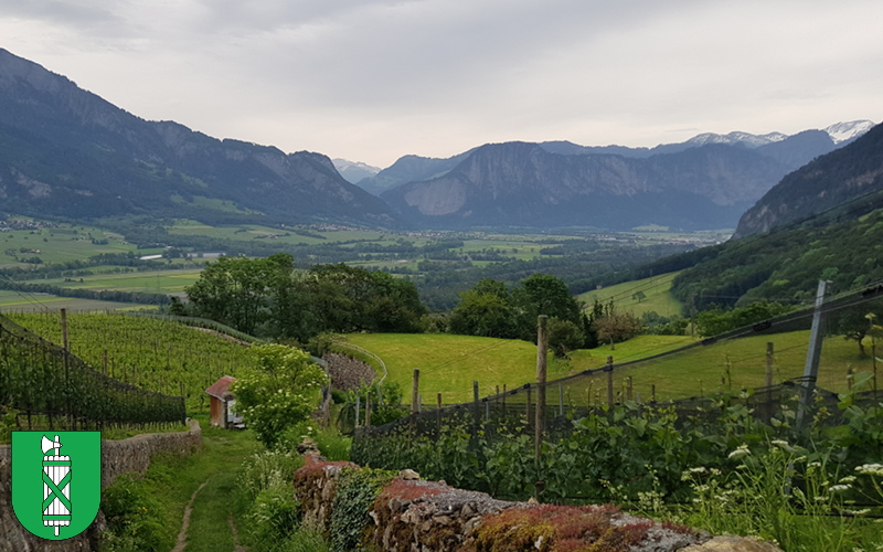
Taminaschlucht Rundtour Introduction This circular hike starts at the station in the town of Bad Ragaz and follows the Tamina River Gorge to Altes Bad Pfäfers, and then on to
59,061 total views, 20 views today
Read more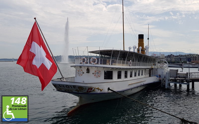
On a tour of Geneva, you soon realize that the vibrant metropolis also offers wonderful locations in natural surroundings. Combined with the urban background, the attractive promenade alongside the lake, is the ideal place to take a stroll.
2,814 total views, 1 views today
Read more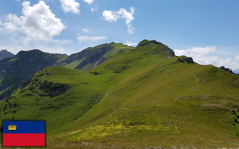
The Ridge Way leads through the imposing landscape to Rappenstein (2222 m), adorned with a mighty cross. From the summit, you can see all of the mountains of the Liechtenstein Alps, the Alpstein and on a clear day Lake Constance.
6,540 total views, 4 views today
Read more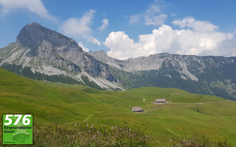
At the center of this circular walk is Giswilerstock, the local mountain. On the Bärgmandlipfad you work your way around this huge limestone massif following ancient routes that lead from pasture to pasture.
6,398 total views
Read more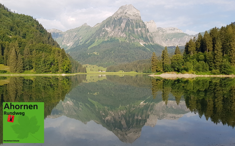
This family-friendly circular trail provides great views as it leads through the Canada-like Oberseetal valley with its picturesque landscape of pinewood forests and lush meadows. You will get to see the wonderful panorama overlooking the Wildasyl Rauti Troos, as well as attractive views of the Bockmattli, Plattenberg, Schyberg and striking Brünnelistock mountains. This hike is about 11km in length and you should allow about 3hrs 50minutes of actual hiking time, in addition to the time spent resting and admiring the views.
5,467 total views
Read more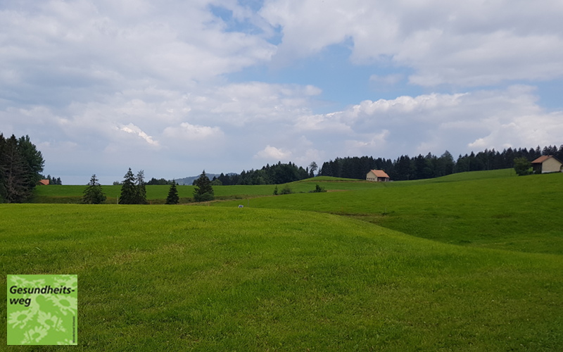
The gently rolling hills, lush greenery, villages scattered throughout all come together to form the healthy and unspoiled Appenzell landscape. This hike with its magnificent views of Vorarlberg, Lake Constance and the Allgäu is well named with the 70 or so plaques giving information on many local medicinal plants and their uses.
4,647 total views
Read more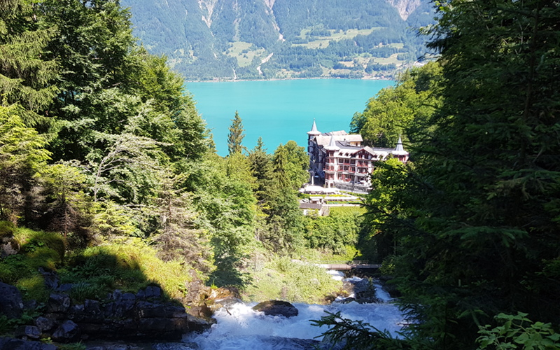
The spectacular Giessbach falls on the Brienzersee near Interlaken provide the backdrop to this hike, which also takes in the historic Grandhotel Giessbach with its views of the lake, funicular railway and boat house, as well as looping out to Underholz and up to Schweibenalp, Hubel and Bramisegg. This hike is 8.5km in length and takes about 3 hours 15 minutes of actual hiking time.
4,805 total views, 2 views today
Read more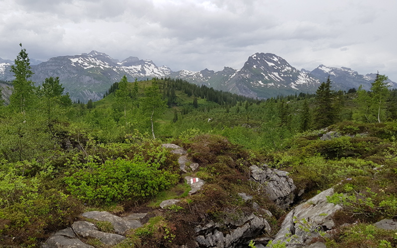
Situated between Mittenwald and Bödmeren in the Swiss canton of Schwyz, this hike takes us through the primeval Bödmer Urwaldreservat, with its forests that have been largely unaffected by humans and are one of the most pristine forests in the Alps. As we climb up towards Wolfsbüel and Floschen, we get wonderful views back down to the forest in the valley below, before we descent once more and return to the forest. This hike is about 10km in length and you should allow about 3hrs of actual hiking time, in addition to the time spent resting and admiring the views.
4,973 total views
Read more
Livestock Guardian Dogs are used in a number of areas of Switzerland to protect herds of livestock from predators such as wolf, bear and lynx, which are starting to reappear in Switzerland. There are estimated to be about 200 livestock guardian dogs working in Switzerland at present. This blog article discusses how best to deal with an encounter with a Livestock Guardian Dog.
2,206 total views
Read more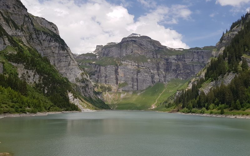
Walk through the beautiful Alpine grazing lands with their enchanting huts, up to the dam at Lag da Pigniu (Lake Pigniu), with its artistic memorial to Russian field marshal Suvorov, who, in 1799, while fleeing with his with his troops from the French army lost many soldiers, horses and supplies crossing the Panixerpass in the snowdrifts. This hike is about 19km in length and you should allow about 4hrs 40 minutes of actual hiking time, in addition to the time spent resting and admiring the views.
3,485 total views
Read more
Located in the picturesque Heidiland region, this area has retained all of its original character and charm. From the initial meadows and sparse forests, you soon reach the stunning moorland and Alpine scenery of Flurat/Mädems, before proceeding uphill to Chammhüttli and along the panoramic hiking trail of the ridge to Guscha summit. This hike is about 8km in length and you should allow about 3hrs 15minutes of actual hiking time, in addition to the time spent resting and admiring the views.
4,784 total views, 1 views today
Read more
There are a number of factors that can influence how long a particular hike will take as well as how difficult the route will be, and whether it is suitable for children. The difference in height, type of trail (is it a narrow rocky ridge at altitude or a wide paved road between villages) and the terrain all have an impact on the difficulty and time a hike will take. Before undertaking a hike it is important to be sure that it is suitable for your group and the amount of time you have available.
3,026 total views, 1 views today
Read more