Bärgmandlipfad Giswil Hike
Introduction
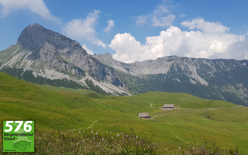
This area is extremely rich in legends, such as that of the Bärgmandli character. In addition, the local geology, flora and fauna are described in the Bärgmandlipfad brochure. Many parts of the path take you through a no-hunting zone where wild animals can rest. There you might observe chamois, deer and also the golden eagle. In springtime, the trail features a superb cross-section of alpine flora.
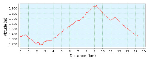
This hike is about 14.5km in length and you should allow about 5 hours 40 minutes of actual hiking time, in addition to the time spent resting and admiring the views.
The Hike
Hike summary
| Date: | 9th July 2018 |
| Weather: | Hot and Sunny |
| Start time: | 08:30 |
| Hike No. | Local Route 576 |
| Length: | 14.5km |
| Ascent/Descent: | 857m / 857m |
| Hiking Time: | 5 hours 40 minutes |
| Grade/Fitness Level: | Medium (mountain hiking trail) / Medium |
| Signposting: | The trail has its own logo that is shown on signposts. |
Overview
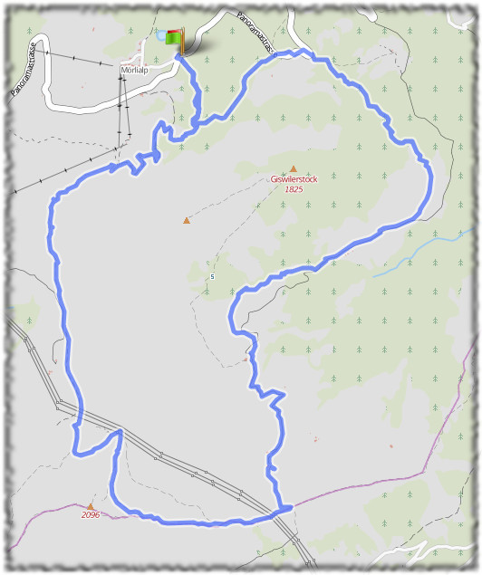
Starting in the car park at Mörlialp, the hike starts with a short, gentle ascent up to the edge of Giswilerstock. from where we turn left and follow the circular trail around the base of the Massif, initially descending as we pass Sandboden and Gütschschwand, before we start our ascent as the trail passes Vorderbrosmat and Fluonalp and proceeds up and along the ridge to its highest point at Rückenegg and then across the scree covered mountainside to Chringe. From here, the trail descends as it makes its way back to the start point at Mörlialp, via Alpoglen.
6,399 total views, 1 views today