Trail Details
Chringe to Alpoglen
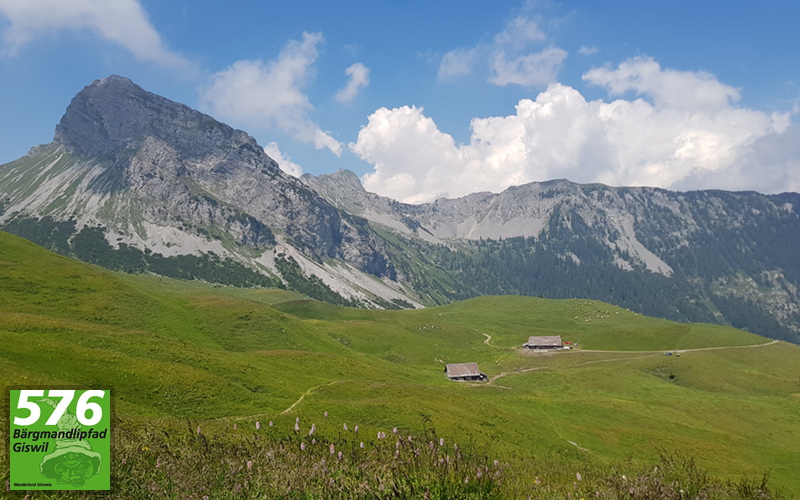
Summary: This section of the hike takes us from Chringe to Alpoglen and takes us through a whole variety of Alpine landscapes, from the initial descent of the stark mountainside, down into the Alpine meadows as we approach Alpoglen.
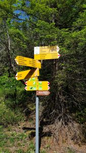
 From the signpost at Chringe, we initially have to scramble over the remaining ascent underneath the pylons, before we get a view of the start of our descent into the valley below.
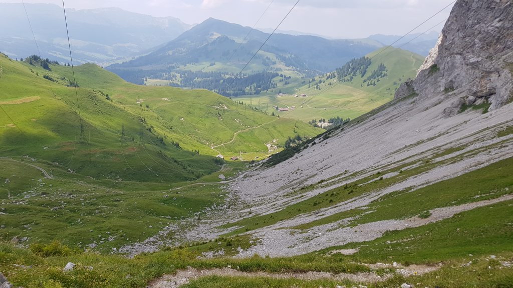
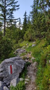
Initially, our descent is a dirt and stone path that zig-zags its way down the side of the mountain, with the same rockfalls to cross as we saw on the walk to Chringe. Eventually though, it starts to flatten out and we see a signpost ahead of us.
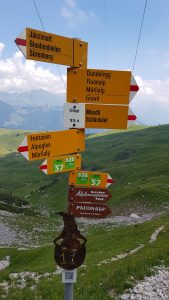
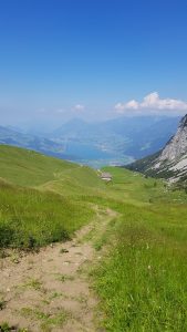
 At the signpost, we turn right onto a dirt and grass path that makes its way across the open meadows. Still descending, but much more gently now. As we make our way through a small, more rockier area, we arrive at a larger gravel track and a signpost directing us to follow it to our right.
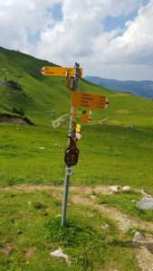
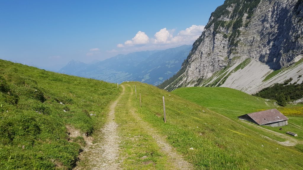
This larger track continues downwards, as it takes us past the buildings and the first signpost at Fontanen, until we reach a second signpost that directs us to leave the gravel track and take a smaller path leading uphill to our right.
 The path here is narrower and dotted with rocks as we make our way up through the edge of a forest and between the various rocks and boulders. Eventually, the trees give way to open meadow as we make our way up the final part of the climb, until we arrive at another turnstile type gate.
Passing through the gate and starting our descent through the meadows, we can see ahead of us the buildings at Alpoglen.
This part of the hike is a fairly gentle descent, initially on a grass/dirt path, until we join a wider stonier track as we make our way to Alpoglen.
6,208 total views, 6 views today