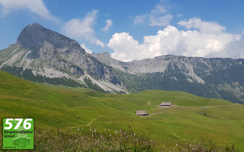
Trail Details
Alpoglen to Mörlialp
Summary: This final section of the hike takes us from Alpoglen down the gravel track that leads through the meadows and trees, until we split off through the forest to join up with the start of the circular trail and make our way back to the car park at Mörlialp.
 From Alpoglen, we carry on down the gravel track as it descends through the meadows, past other buildings. The landscape becomes more wooded as we descend, but among the trees at the side of the track, there are areas of grass, with cattle grazing on them.
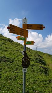
As the gravel track twists and turns downwards, we eventually arrive at a signpost directing us through a turnstile to the right and on to a narrower dirt path that leads down through a more wooded area.
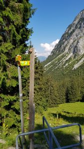
 This path, which is mainly gravel and stone, makes its way into the trees and we follow it as we continue to descend through the woods, until after a while, ahead of us we see another turnstile and the signpost that marks the start/end of the circular part of the hike.
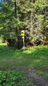
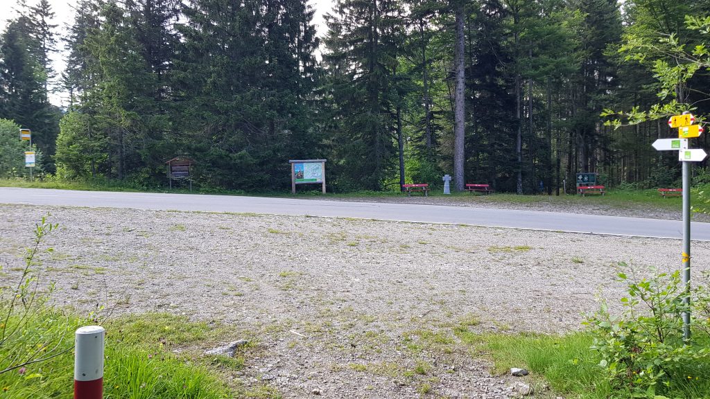
Turning left at the signpost, we now follow the same track that took us from the start of the hike this morning, back down through the trees, until we emerge from the trees at the edge of Panoramastrasse and the bus stop/car park at Mörlialp, which mark the end of the hike.
6,213 total views, 11 views today