Oberegg to Heiden
Summary: This section of the hike takes us through the remainder of Oberegg and then through a more wooded landscape until we reach the edge of Heiden. Then it is more walking along roads as we walk through Heiden.

 After walking down the main street of Oberegg, a small signpost directs us to turn left into a more industrial area. Even in this part of the hike, where we are walking on roads and pavements, the plaques detailing the medicinal plants can still be found.
After walking through the light industrial area, a signpost directs us to turn left and up a residential road, until another signpost directs us across and up the side of someone’s lawn.
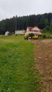 Following a series of grass and gravel tracks, we make our way between various gardens, before emerging on to another residential road and turning right. After walking a short distance up the road, another signpost directs us to turn left, initially up a stone path and then onto a grassy section that goes up the side and along the back of what is currently a building site.
Note: this part of the route may change slightly when building is completed. You are heading towards the house shown in the picture to the right.
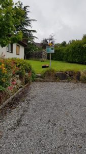
Once you reach a small paved road, turn left and follow it, until it goes through a group of properties and joins the main road.
On the main road, turn right and walk along the pavement for about 100m, until another signpost directs you to the right and down a gravel track.
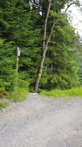
 Just as the gravel track turns to the right and on towards a property, a trail marker directs us down some steps and onto a narrow gravel path. This path takes us around the edge of the garden area of the property and towards a gap in the trees that leads us into the wooded area.
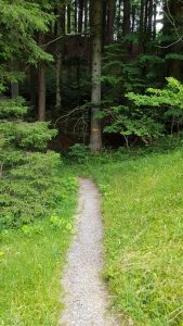
After crossing a small wooden bridge, the dirt path leads us through the woods until the trees open out to reveal another house.
The track turns left and takes a set of rough steps down the side of the property, and crosses over its tarmac drive, before going back into the woods on the other side.
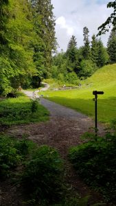 After walking through this area of woods, the path eventually reaches a set of steps that lead down to the edge of the woods and a flatter open area with a small pond.
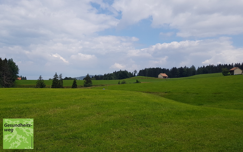
We follow the gravel track in front of us, past the pond and between the remainder of the trees, until the landscape opens out again into the rolling pastures dotted with buildings. We are now in sight of the edge of Heiden.
The gravel track finally joins on to a tarmac road, and we walk past Wies and eventually arrive at a larger road, which we walk along, before a signpost directs us off to the right and through behind the properties of this road.
When we emerge back on to a road, we are by the Migros in Heiden. From here, we are once again walking on roads, as we follow the hiking signs that direct us to Kohlplatz, where a larger Wanderland Schweiz sign is found.
Here, rather confusingly, the signposts show the Gesundheitsweg going in three directions, back the way we have come and also to the left and right. If you go right, the route takes a short detour through the town to the station and then back to this point. Due to time constraints, I chose not to do this part and instead turned left to start the next part of the hike.
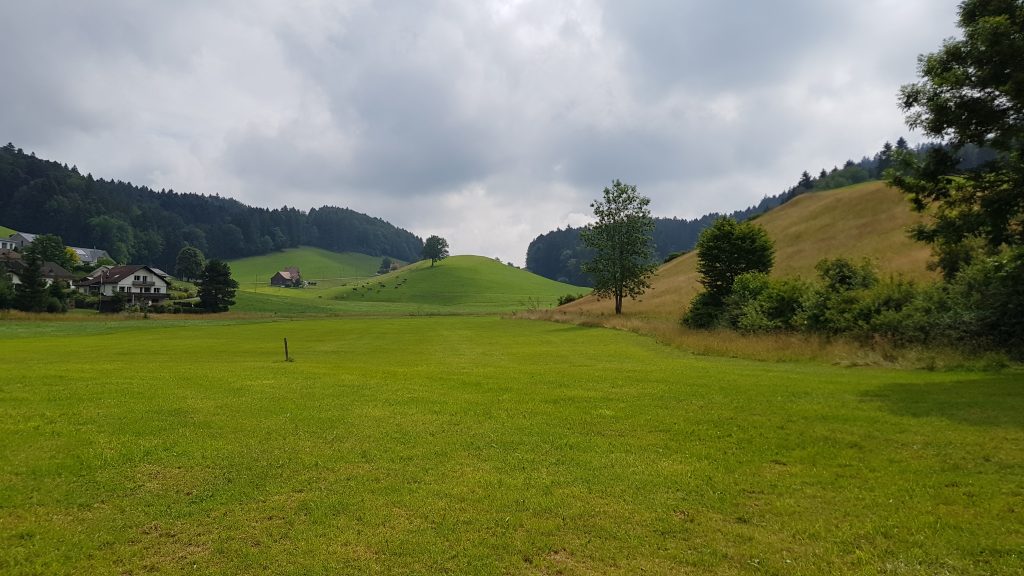 The view across the rolling meadows near Weis.
4,650 total views, 3 views today