Trail Details
Andiast to Lag du Pigniu
Summary: This section of the hike takes you from Andiast, across the Alpine meadows that spread out at the sides of the valley, up to the Dam at Lag du Pigniu. For me this part of the hike also included the walk along the roads from the car park at Talstation Sesselbahn to the start of the hike. If you do not want to walk along the roads, then there is a possibility of following part of trail routes 43 and 85, which join rout 679
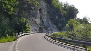 Starting from the car park at Talstation Sesselbahn, the first 1.3km of the hike is a gentle climb up the hill as the road winds its way to Andiast.
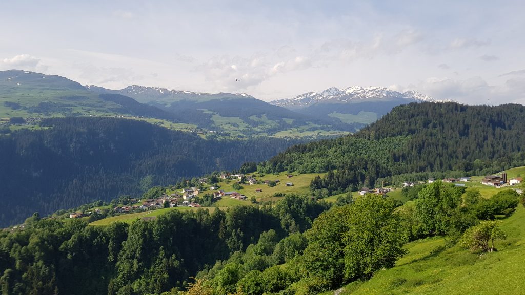
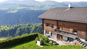
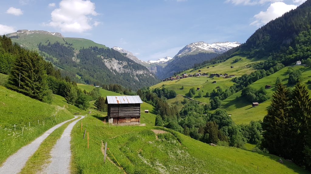
Even at this low altitude though, the views over the valley are spectacular, as can be seen below.
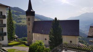
Arriving at the village, we carry on through it, with its narrow streets lined with picture perfect Alpine houses and a quaint church, to the actual start of the hike itself at the far end of the village.
 |
 |
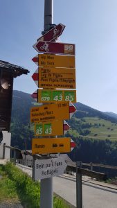 After walking through the village, we eventually arrive at the signpost marking the start of the hike proper.
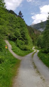
From here, it is a short walk through the outskirts of the village, until the road splits and another signpost directs us to carry on along the right-hand lane.
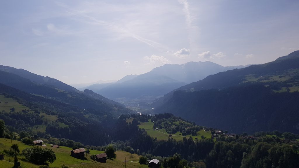
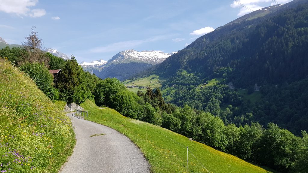
Initially we are walking in the relative shade of a tree lined lane, but after a short distance, we emerge into the open countryside of the rolling meadows, dotted with wooden huts, that cover both sides of the valley and afford us a view of the snow covered peaks in the distance.
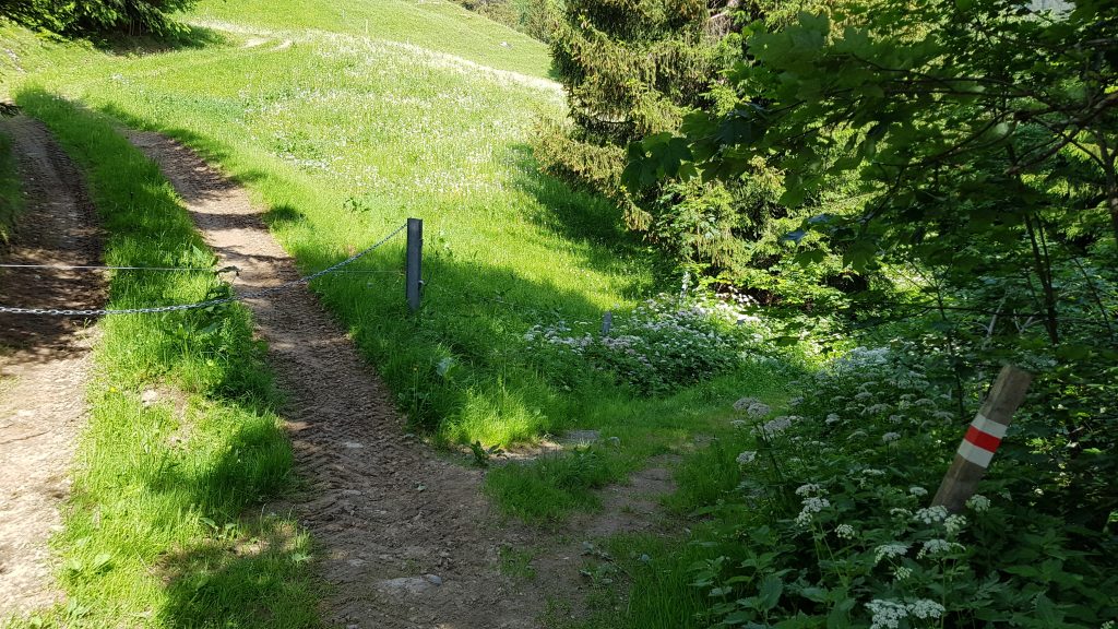
Eventually, the paved lane changes to gravel, with grass in the center, but we are still walking on good quality, easy ground.
As we continue our gentle ascent along the gravel lane, we eventually enter a more wooded area and arrive at its end and a change onto a small path.
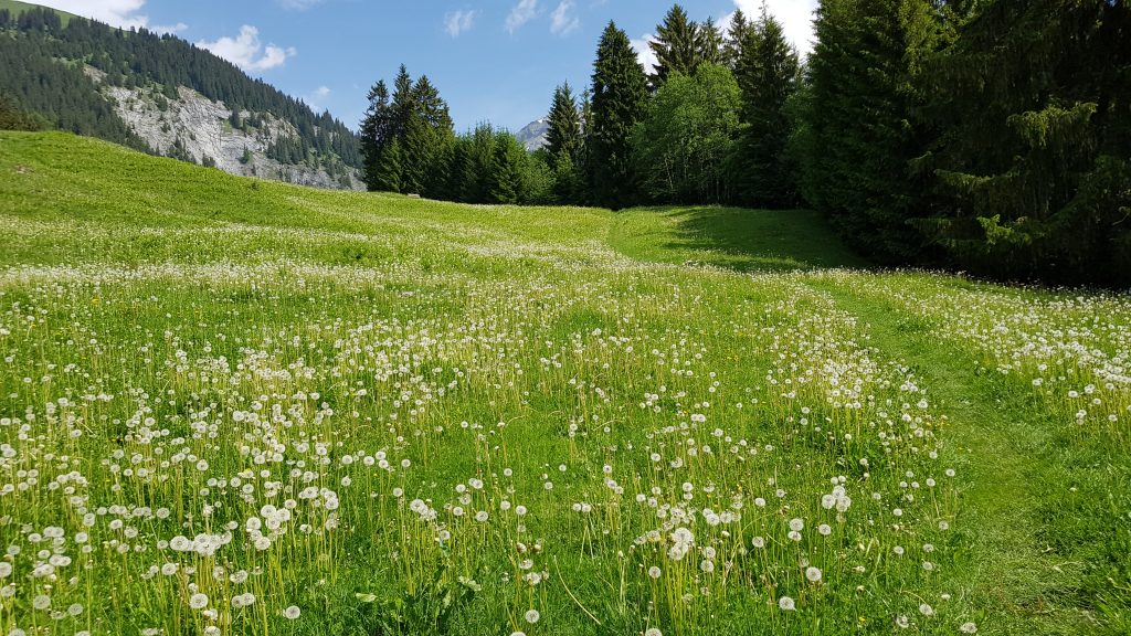
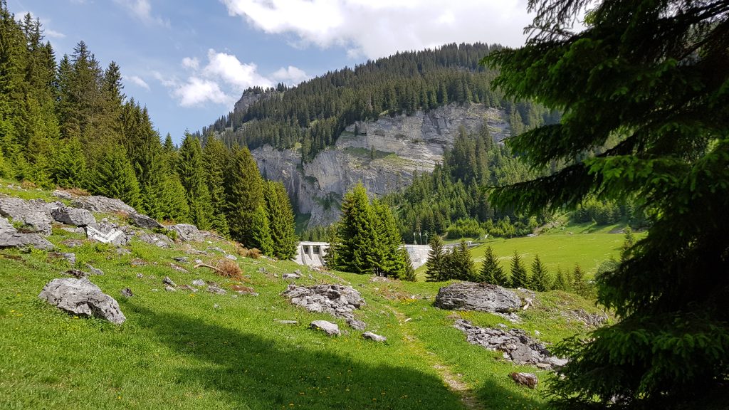
The path takes through a more wooded area as it makes its way down the side of the valley, towards the river at the bottom. The path here is rougher and muddy in places, but still passable with no difficulty. Eventually, the path opens out into a small meadow covered in dandelions and a slight climb up to the next stage of the hike.
At the top of the slope, there is a seat, giving a wonderful view back over the valley and the way we have just come. A wonderful place for a short break and a cup of coffee.
 A short distance behind the seat, after making our way through the electric fence, we join a gravel track, with a signpost directing us to follow it to the right. The track leads us on a gentle downward slope, past a rest area, with seating, a fire-pit, fresh water and a children’s play area, that is, somewhat strangely, overlooked by a totem pole.
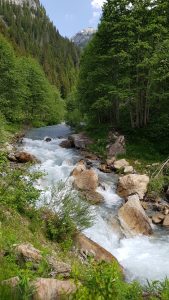
Eventually, as we reach the lower levels of the valley floor, we are walking along side the river, as it rages through the boulders that partially block it.
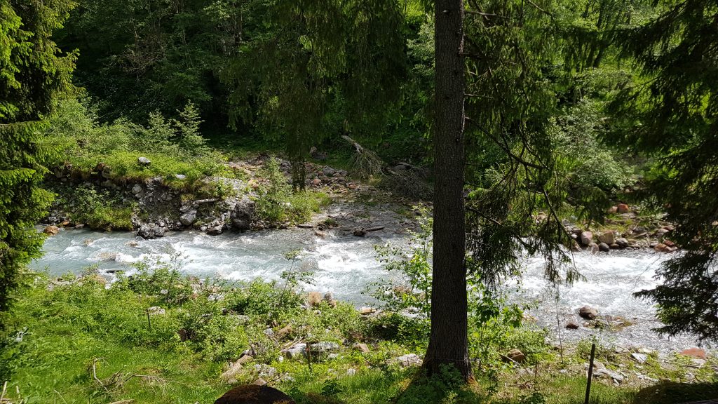
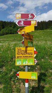
We carry on along the trail, next to the river, for a while until we reach another signpost, directing us up a narrow, steep path to the left.
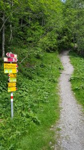
It is here that our local trail 679 and regional trails 43 and 85 finally split, with the regional trails carrying on along the riverside track, until they eventually cross the river and carry on up the opposite side of the valley.
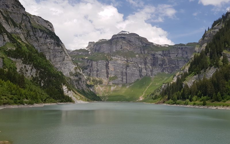
Our journey takes us up the steep narrow tree-lined path, for about half an hour, as it climbs back up the side of the valley. In places, having to scramble over rocks and tree roots, while in others, the path is relatively level. Every so often, breaks in the trees show glimpses of the river far below us. Eventually, the path levels out into a small rock strewn area and we get our first sight of the dam.
After crossing this small grassy area, there is another short upwards climb along another tree root strewn narrow path, until eventually, we emerge at the top and a small BBQ area, overlooking the lake itself.
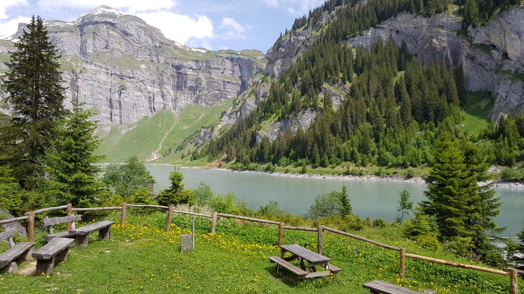
A short gravel track takes down to the dam itself, and the signpost marking the two routes around the lake.
3,489 total views, 4 views today