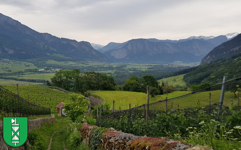
Rosenbergli to Bad Ragaz
Summary: This final flat section of the hike takes us to the banks of the River Rhine, and along it back to the station at Bad Ragaz.
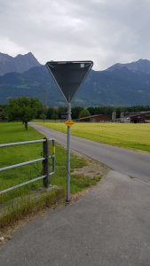
 After crossing the main road, we follow the smaller road that is straight ahead of us as it leads us between a golf course on the left and fields on the right.
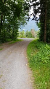
After passing a solitary house, the paved road becomes a gravel track between two fields as we head for a gap in the trees ahead of us.
As we emerge from between the trees, we are faced with the fast flowing River Rhine in front of us and a signpost directing us to the left.
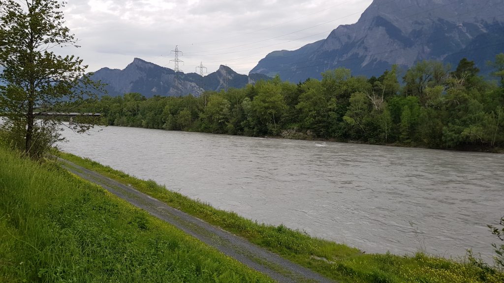
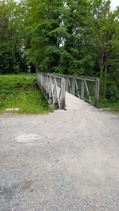 Turning left, we now walk along a gravel track as it follows the route of the river. After about 6 minutes, we cross a road and continue on along the bank of the river, with the track narrowing abd becoming a gravel path. After a further 10 minutes, we reach the end of the riverside path and a signpost directs us over a footbridge to our left. The river that the bridge is crossing is the Tamina that runs through the gorge at the start of the hike.
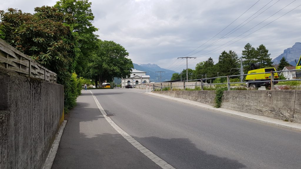
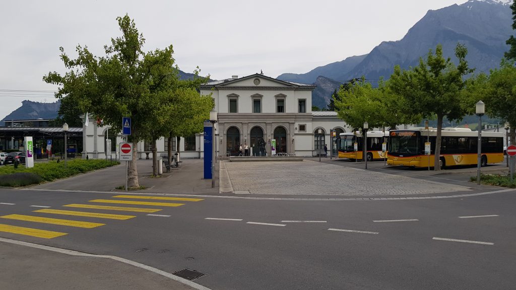
After crossing the bridge, another signpost directs us to follow another gravel path, which after a short distance emerges at the end of a road, which we walk along before turning left at the junction with the main road and walking the final hundred meters or so back to the station and the end of the hike.
59,196 total views, 19 views today